Hiking - On the Road of the Rutènes
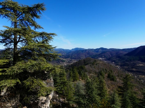
A walk offering beautiful panoramas over the Arre and Coudoulous valleys, with their perched villages.
From Molière-Cavaillac, the trail winds through terraced landscapes up to the Déroucades rock formations, reaching Esparon. At the pass, a track lined with chestnut and cherry trees leads to Bréau-Salagosse, with its picturesque streets.Along the route, signposts guide you. The names of localities and/or directions to follow are indicated in bold italics and in quotes in the description below:
Departure from " MOLIÈRES-CAVAILLAC " towards " ESPARON " via "Place Bellevue", "Bois et Avans", "La Croix d’Esparon" and "Chapelle d’Esparon". From " ESPARON " follow " BRÉAU " via "Col d’Esparon", "Courbières", "L’Ubac" and "La Bernadelle". At "La Bernadelle", join "Bréau" via the right-hand track. At the Bréau temple square, turn right onto the old Roman road for a direct return to " MOLIÈRES-CAVAILLAC."
Walk extracted from the cartoguide Les Vallées Cévenoles - En Pays Viganais, produced by the Pays Viganais-Cévennes community of municipalities as part of the Espaces naturels gardois collection and the Gard Pleine Nature label.
Adapt your equipment to the weather conditions of the day. Bring sufficient water, sturdy shoes, and a hat. Make sure to close gates and stiles if you encounter them along the route.