Hiking - Tour of the Combeynot Peaks in three days
How fascinating it is to observe the marked contrast in the landscapes of the Briançon area in such a short time! Water is everywhere and has helped to create this landscape diversity. It can be viewed in its slowest moving form with the Roche Faurio glacier, and at its swiftest with the Romanche and Guisane water courses. In addition, architectural elements punctuate the trail, plunging the walker into the history of the hamlets of Le Monetier.
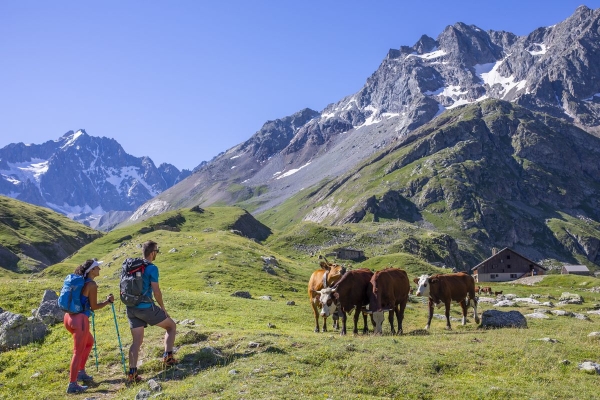
The Tour starts at the Col du Lauteret and quickly joins the Sentier des Crevasses taking hikers along the mountain side above the Romanche valley until they reach the L'Alpe de Villar refuges. The route then enters a small valley, following the Romanche up to its source.
For the second stage, make your way uphill from the Plan de l'Alpe refuges and cross several water courses before you reach the Col d'Arsine, where it is possible to get to the lakes formed by the glaciers of the same name. At this point, the backdrop is a high mountain landscape. The trail then leads over into the Guisane valley, in a long descent down to the village of Le Casset which is the end of the stage.
On the last day, the ancient track follows the Guisane, passing through various hamlets, in particular Le Lauzet. From here, the route follows the GR®50 as far as the Col du Lauteret.