Hiking - Grand Paradis Vanoise Nature Trek - glacier route stage B
Glacier route of the Grand Paradis Vanoise Nature Trek. A Franco-Italian itinerary for experienced hikers only.
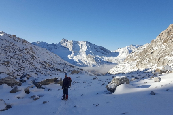
A challenging and committing route on the Vache glacier. Mountaineering equipment required. Beautiful landscapes, high-altitude passes and lakes.
From the Refuge du Prariond to the start of the Vache glacier
Leaving the Refuge du Prariond, take the path towards the Col de la Lose and La Galise. As soon as you pass the steep incline, you are in the Niolet valley. Continue due east towards Grande Tête, facing the Sources de l’Isère glacier. Continue towards the Col de la Lose until you reach the 2750m elevation point. Leave the path as it continues straight on towards the Lacs de la Vache.
From here, the slope levels out for a gentle walk through a rocky landscape. Following the cairns and the contour line, cross the stream connecting the two lakes to proceed southeast to the foot of the glacier.
The Vache glacier, Col d’Oin and Capra glacier
The glacier is not very steep and presents no technical difficulties. However, its crevassed nature requires caution. Late in the season, it is better to bypass it on the right at first. Then, head east again at the 3090m elevation mark to the final steep and rocky section that leads to the Col d’Oin (3164m) (use a 20m rope).
On the other side, a sloping, rocky 50m section allows you to set foot on the Italian glacier (use a 30m rope). Be aware of possible rockfalls from the Cime d’Oin and crevasses that appear late in the summer season.
From the end of the glacier to Lac Serrù
At the end of the glacier, bear left to descend a maze of rocky steps and boulders (two rope lengths needed). Stay slightly to the left and cross the path from the Col du Carro heading to Lac Serrù, then turn left to the Col Rocce. Momentarily leave the rocky section to descend a steep and winding path, then walk alongside a pretty little lake. Continue straight on, going around the Pointe delle Rocce. After passing a small fort, descend over scree for about thirty minutes. You will arrive below the dam wall, which you traverse across its face, then reach the car park equipped with public toilets.
From Lac Serrù to the Refuge Chivasso/Savoia
You have two options:
From the car park, continue on the paved road (it is possible to cut across the three switchbacks through the grass) then turn left after the barn, just before Lac d’Agnel. Continue for 250m on the vehicle track then turn right and climb to join the path that leads to the Col d’Agnel.
Alternatively, from the car park, head for the path towards the Col de la Lose on the lake side. After a flat section, climb 50m and fork right, not far from the World War II forts. A long balcony path takes you below the Col d’Agnel.
To reach the pass, climb a steep, winding, and fairly narrow path with some rocky sections equipped with fixed ropes. Pass by the side of a small fort on an exposed section, then cross a stream to continue slightly right and rejoin the paved road located below the Refuge du Chivasso.
Glacier route for experienced hikers only, equipped to rope up + crampons, ice axe, helmet, crevasse rescue kit.