Hiking - Val d'Allier
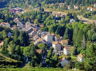
The village of La Bastide was established in the 19th century during the construction of the railway between Nîmes and Saint-Germain-des-Fossés.
Along the route, directional posts guide you, with the names of localities and/or directions to follow indicated in "bold italics and in quotes" in the description below:
From « LA BASTIDE PUYLAURENT » head towards « Chemin de Mercoire ».
At « Chemin de Mercoire », turn left towards « Col des Huttes ».
At « Col des Huttes », turn right towards « LE FRAISSE » via « Serre de la Bastide ». At « LE FRAISSE », turn right to return to « LA BASTIDE PUYLAURENT » via « Les Planasses », « Chemin du Fraisse », « Chemin de Mercoire ».
Walk taken from the guide Mont Lozère – Pays des Sources, From the Margeride to Lake Villefort in the Cévennes, implemented by the Mont Lozère Outdoor Activity Center.
Adapt your equipment to the weather conditions of the day. Remember that the weather can change quickly in the mountains. Bring sufficient water, good shoes, and a hat.