Hiking - Ventalon
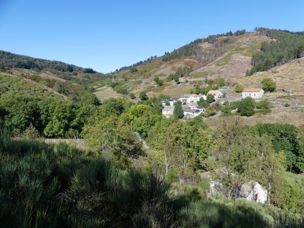
This walk at the foot of the Bougès mountain range takes you onto the Languedoc draille (drovers' road) and over the watershed between the Atlantic and Mediterranean. It has beautiful views onto the Cevennes, the Aigoual massif and Mont Lozère.
Signposts will guide you all along this route. In the description below, the signposted place names and/or directions are given in bold italics between quotation marks:From "La Croix de Berthel”, walk to “St Maurice de Ventalon” via “Les Bastides” and “Plo de la Nassette“.
At “St Maurice de Ventalon”, go uphill to “Signal de Ventalon” via the “Col de Malpertus”, “Le Grand Cougnet”, “Sous le Signal de Ventalon” and “Signal de Ventalon”.
Then go back down to “Sous le signal de Ventalon” and “Le Grand Cougnet”. Return to “La Croix de Berthel” via “Draille de Ventalon”.
This hike is taken from the guidebook Mont Lozère – Pays des sources, Sommet des Cévennes, published by the Pôle de pleine nature du Mont Lozère.
Steep path at first. Make sure your equipment is appropriate for the day's weather conditions. Remember that the weather changes quickly in the mountains. Take enough water, wear good shoes and put on a hat. Please close all gates and barriers after yourself.