Hiking - Le chemin du Ranc de Banes
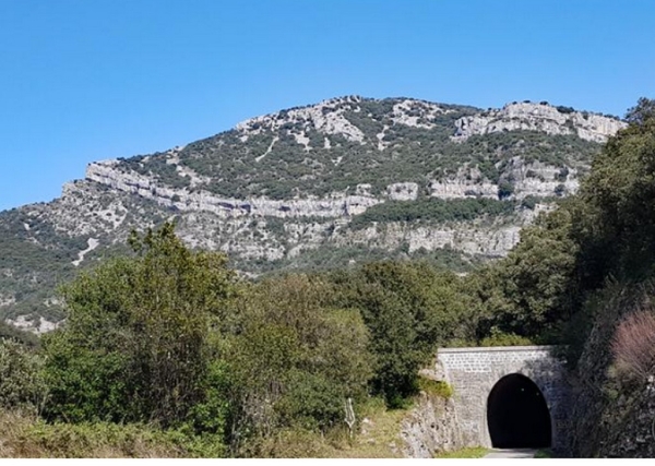
Sporty hike to the Ranc de Banes, between cliffs, caves, and lapiaz, above the Rieutord valley.
Along the route, directional posts guide you. The names of the places and/or directions to follow are indicated in bold italics and enclosed in quotation marks in the description below:
Depart from "Sumène – Av. de la Gare", head towards « Ranc de Banes », passing through « Sumène – Ancienne Gare », and « Les Pialades ». At « Ranc de Banes », there is an option to go to the viewpoint (round trip). Return to « Sumène – Av. de la Gare » by following « Camp Flouret », « Col de l’Agas », « L’Ubac », and « Sumène – Av. de la Gare ».
This walk is extracted from the cartoguide Autour de Ganges et Sumène created by the community of communes of Cévennes Gangeoises and Suménoises as part of the collection Espaces naturels gardois and Héraultais.
Adapt your equipment to the weather conditions of the day. Be sure to bring enough water, good shoes, and a hat.